Beyond the Forts: How Shivaji Maharaj Understood the Sahyadris
How Maharashtra"s mountains, valleys, forests, and passes became powerful allies in establishing Swarajya.


Beyond the Forts: How Shivaji Maharaj Understood the Sahyadris
How Maharashtra's mountains, valleys, forests, and passes became powerful allies in establishing Swarajya.
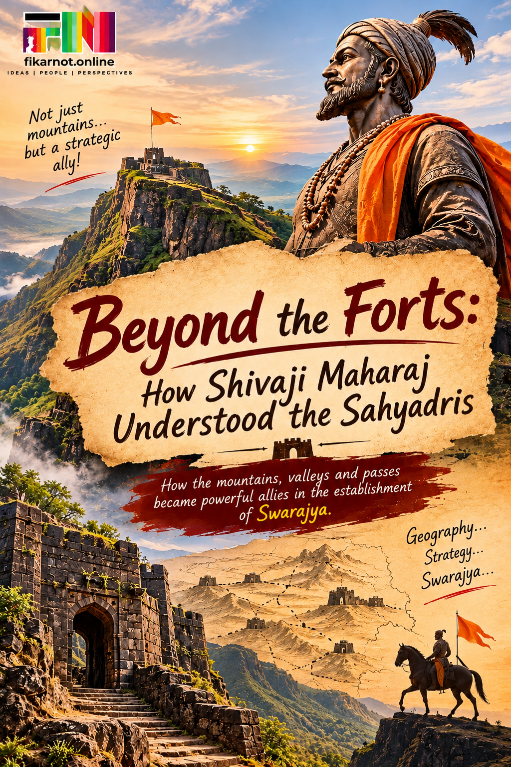
On one side, endless mountain ranges. Below, deep valleys covered with forests. Somewhere in the distance, a narrow mountain pass connects the Deccan plateau to the Konkan coast.
Today, we look at this landscape and think about trekking, adventure, photography, and sunsets.
But imagine looking at the same mountains in the seventeenth century.
No Google Maps. No GPS. No motorable roads. No satellite images.
For a military commander, this terrain could be a nightmare. For someone who understood it, however, it could become a tremendous advantage.
And Chhatrapati Shivaji Maharaj understood this geography exceptionally well.
He didn't merely occupy the Sahyadris. He understood how to use them.
The Mountains Were More Than a Natural Defence
Let's understand one thing first.
Shivaji Maharaj was building Swarajya in a period when powerful kingdoms had larger armies, more resources, and established military systems.
Fighting every enemy in an open battlefield would have meant accepting the opponent's terms.
But why should you fight on somebody else's terms when you have an entire landscape working in your favour?
The Sahyadris offered something that conventional military strength could not easily overcome.
Steep slopes. Narrow routes. Dense forests. Hidden pathways. High mountain forts. Difficult passes.
An army with thousands of soldiers and heavy equipment could find it extremely difficult to move through such terrain.
But local soldiers who knew the mountains, their routes, and their seasons could move with much greater familiarity.
This is where Shivaji Maharaj's understanding of geography became a strategic advantage.
He recognised that the strength of an army does not depend only on how many soldiers it has, but also on where and how it fights.
Pratapgad: When Geography Became Strategy
One of the most striking examples is the episode of Afzal Khan.
In 1659, Afzal Khan marched towards Shivaji Maharaj with a powerful Bijapur force. He had considerable military resources and experience.
But Shivaji Maharaj did not rush into a conventional confrontation.
He operated from the region around Pratapgad, in the difficult and heavily wooded Jawali valley.
Think about the geography.
Pratapgad stood on a strategic height. The surrounding forests, slopes and narrow approaches made the region difficult for a large army to navigate.
The fort was not selected merely because it looked impressive from a distance. Its location helped secure the Par pass and strengthen Shivaji Maharaj's position between the Deccan and the Konkan.
The famous meeting with Afzal Khan took place at the foothills of Pratapgad on 10 November 1659.
The events that followed became a defining episode in Maratha history.
But beyond the dramatic encounter, there is a larger strategic lesson.
Shivaji Maharaj understood that the battlefield begins long before the first weapon is drawn. It begins with the choice of terrain.
He had turned the surrounding landscape into an important part of his military planning.
The Fort Was Not an Island. It Was Part of a Network.
We often visit forts individually.
One Sunday, Rajgad. Another weekend, Torna. Then Sinhagad, Purandar or Raigad.
We admire the gateways, climb the steps, photograph the bastions and return home.
But during Shivaji Maharaj's time, a fort was not simply a destination or a monument.
It was a strategic centre.
Forts helped protect territory, store provisions, provide secure positions, monitor movement and support administration.
Their locations mattered as much as their walls.
Consider Rajgad. It served as the capital of Swarajya for many years. Raigad later became the capital and the site of Shivaji Maharaj's coronation in 1674.
Torna, captured in 1646, marked an important early step in his expansion. Purandar and Sinhagad occupied strategically significant positions in the surrounding region.
These forts were connected through a wider military landscape.
The idea was not simply to defend one hilltop. It was to establish control over the surrounding territory through a network of strongholds.
In fact, the importance of this interconnected defence system is recognised internationally today. UNESCO's inscription of the Maratha Military Landscapes highlights how the forts integrated natural terrain, military architecture and territorial strategy.
Think about that for a moment.
What we see today as separate trekking destinations once formed part of a larger strategic vision.
The Ghats: Controlling the Routes Meant Controlling Movement
The Sahyadris are not just a wall of mountains.
They also contain routes connecting two very different geographical regions: the Deccan plateau and the Konkan coast.
These mountain passes, commonly called ghats, were important for movement, trade, communication, and military operations.
Those who controlled these routes had an advantage in understanding and influencing the movement of people, supplies, and armies.
Take the region around Bhor Ghat, Naneghat, and other historic passes.
These were not merely scenic mountain roads. They were important corridors connecting inland settlements with coastal trading centres.
For Swarajya, the relationship between the hills and the Konkan was particularly significant.
It meant that the mountains were not just defensive barriers. They could also connect different parts of the emerging kingdom.
And Shivaji Maharaj's strategic vision extended beyond the hills.
His development of coastal forts and naval strength showed that he understood the importance of securing the coastline as well.
The Sahyadris, the Konkan and the Deccan were not separate strategic concerns. They were interconnected.
The Jawali Lesson: Know the Land, Know Its People
There is another important dimension to this story.
Geography alone does not explain everything. You also need people who understand that geography.
The Jawali region was known for its dense forests and difficult terrain. Its local political influence was associated with the Chandrarao More family.
Shivaji Maharaj's acquisition of Jawali in 1656 was significant not just because of the territory gained, but because it strengthened his position in the western mountain region.
It opened up greater strategic possibilities towards the Konkan and the surrounding forts.
More importantly, it demonstrated that building Swarajya required more than capturing isolated forts.
It required understanding local power structures, communities, routes, and resources.
The mountains could provide protection, but local knowledge made that protection meaningful.
A narrow trail known to a local guide could be more valuable than a broad road unfamiliar to an invading army.
A fort's water supply could determine how long it could withstand a siege.
A village's location could influence the movement of troops and supplies.
This was geography understood at the ground level.
What Today's Trekkers Can Learn From This
Here is something interesting.
When we trek to a fort today, we often ask:
How difficult is the climb?
How many kilometres?
How much time will it take?
Where is the best viewpoint?
But perhaps we should also ask a few different questions.
Why was this fort built here?
Which valley does it overlook?
Which pass does it control?
Where could an enemy approach from?
Where would soldiers find water?
How is this fort connected to the neighbouring forts?
Suddenly, the trek becomes a history lesson.
The climb to Pratapgad is no longer just a climb. It becomes an opportunity to understand the strategic importance of the Jawali valley.
Rajgad is no longer just a beautiful fort. It becomes a window into the administrative and military foundations of Swarajya.
And when you look at the Konkan from a Sahyadri ridge, you begin to understand why controlling the mountain passes mattered.
You stop seeing only the scenery.
You start seeing the strategy.
The Mountains Still Have a Story to Tell
Today, the Sahyadris attract trekkers, photographers, climbers, historians, and nature enthusiasts.
We celebrate their beauty, but their historical significance deserves equal attention.
Shivaji Maharaj's achievement was not simply that he built a kingdom among difficult mountains.
It was that he recognised the possibilities hidden within those mountains.
He understood that geography could shape military strategy, that forts could support administration, that mountain passes could connect regions, and that local knowledge could become a source of strength.
Swarajya was established through courage, leadership, organisation, diplomacy, military planning and the contribution of countless people.
The Sahyadris did not establish Swarajya on their own.
But Shivaji Maharaj's understanding of them made them powerful allies in that journey.
Perhaps the next time we stand on a Sahyadri fort, we should pause for a moment before taking that photograph.
Look at the valley. Observe the ridge. Notice the pass winding through the mountains.
And ask ourselves:
What did Shivaji Maharaj see here that we often fail to see today?
Because for him, the Sahyadris were never just mountains.
They were geography transformed into strategy, and strategy put in the service of Swarajya.